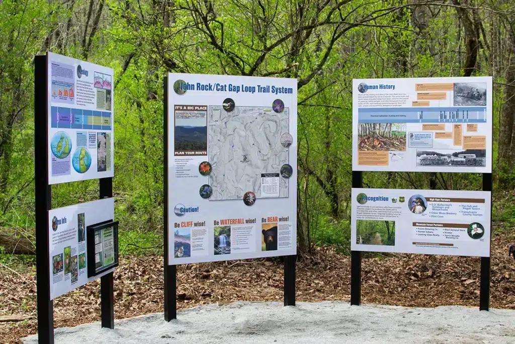
In April 2024, TPC and the U.S. Forest Service proudly unveiled a new kiosk at the Cat Gap Loop trailhead and 15 new wayfinding signs along the Cat Gap Loop and John Rock trail system. This marks the completion of TPC’s first visitor information project.
The previous kiosk, which was removed in early April, featured outdated information and a map that displayed areas well beyond this heavily used trail system.
In addition to the detailed trail system map, the new three-paneled trailhead kiosk includes information about the area’s geology and human history, safety information for visitors, and more. This project has been in development for several years and is intended to improve visitor safety and recreation.
The new kiosk and wayfinding signs on the Cat Gap Loop and John Rock trail system were made possible by financial contributions from eleven local businesses, as well as funds contributed by TPC and the USFS. All contributing businesses, content contributors, and vendor partners who supported this project are recognized below.
“Before this upgrade, we had a kiosk with a map that showed vast areas of western North Carolina all the way into Tennessee. Now, you have a high-quality map focused on this trail system, as well as maps on larger wayfinding signs at confusing intersections along the trail,”
– John Cottingham, Founder and Executive Director, TPC
“This has been in the works for a long time. It has taken a lot of intelligent people who care about this place and want visitors to have a good experience for us to reach this point.”
– Jeff Owenby, Recreation Director, Pisgah Ranger District


